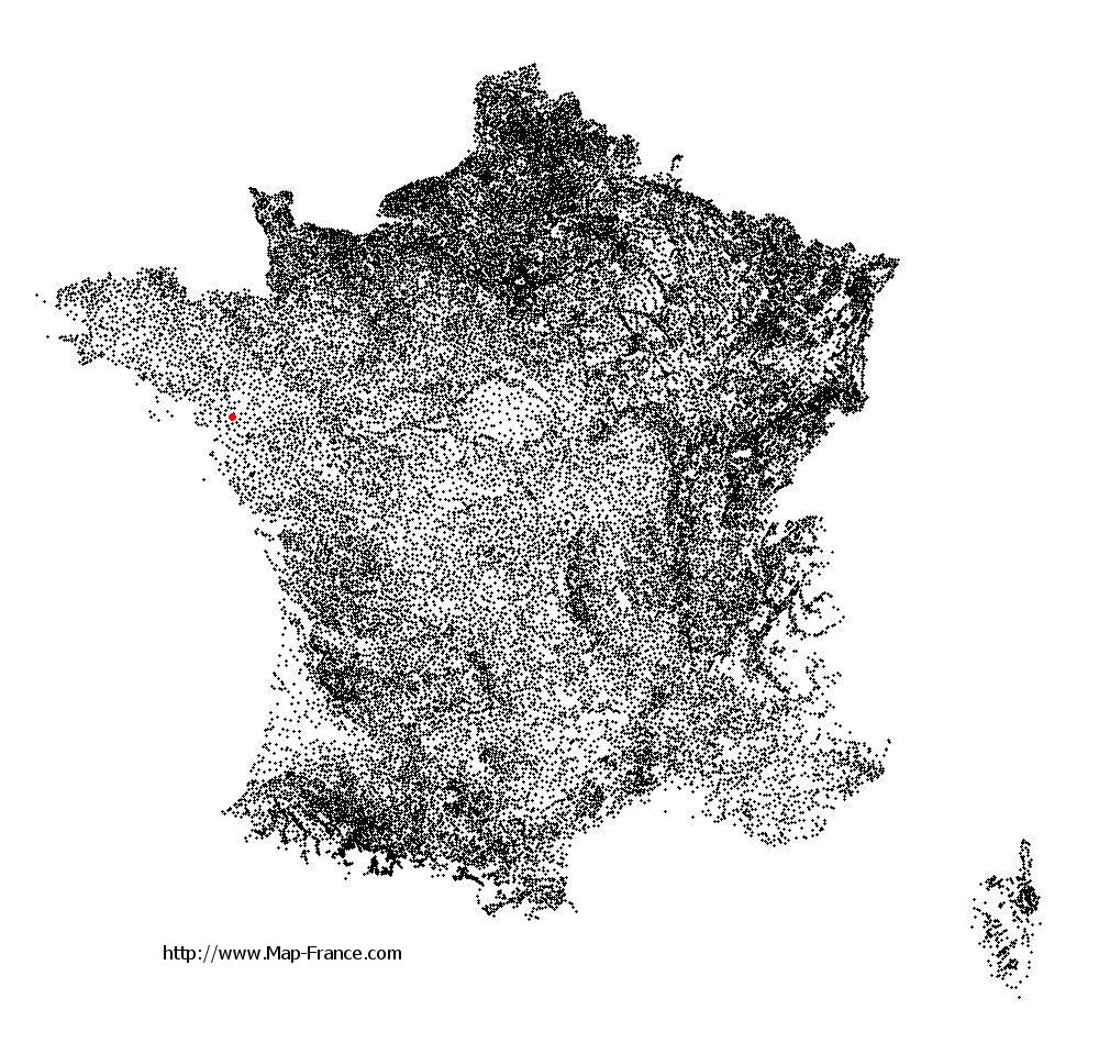
La Chapelle-Launay on the relief France map in Lambert 93 coordinates
|
See the map of La Chapelle-Launay in full screen (1000 x 949)
|
At left, here is the location of La Chapelle-Launay on the relief France map in Lambert 93 coordinates.
Here are the altitudes of La Chapelle-Launay :
- Town hall altitude of La Chapelle-Launay is 50 meters
- Minimum altitude of La Chapelle-Launay is 0 meters
- Maximum altitude of La Chapelle-Launay is 77 meters
- Medium altitude of La Chapelle-Launay is 39 meters
Here are the altitudes of Nantes, prefecture of Loire-Atlantique department:
- Town hall altitude of Nantes is 20 meters
- Minimum altitude of Nantes is 2 meters
- Maximum altitude of Nantes is 52 meters
- Medium altitude of Nantes is 27 meters
Here are the altitudes of the french biggest cities:
Paris : 33 meters
Marseille : 20 meters
Lyon : 237 meters
Toulouse : 146 meters
Nice : 10 meters
Nantes : 20 meters
Strasbourg : 144 meters
Montpellier : 35 meters
Bordeaux : 16 meters
Lille : 20 meters
Rennes : 35 meters
Reims : 83 meters
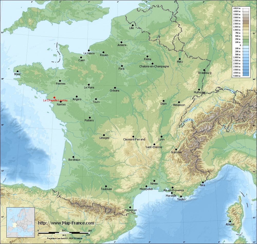
Click here for the terrain map of La Chapelle-Launay in full screen:
Relief map of La Chapelle-Launay
|
This relief map of La Chapelle-Launay is reusable and modifiable by making a link to this page of the Map-France.com website or by using the given code :
|
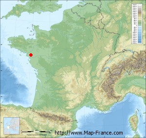
Terrain base map of La Chapelle-Launay
|

See the terrain base map of La Chapelle-Launay in full screen (1000 x 949)
|
Small relief base map of La Chapelle-Launay
|
This base map of La Chapelle-Launay is reusable and modifiable by making a link to this page of the Map-France.com website or by using the given code :
|
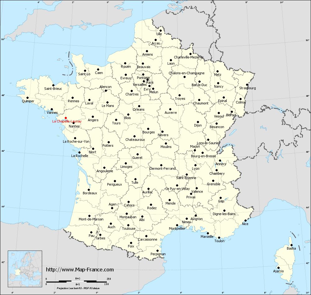
Map of La Chapelle-Launay with regions and prefectures
|
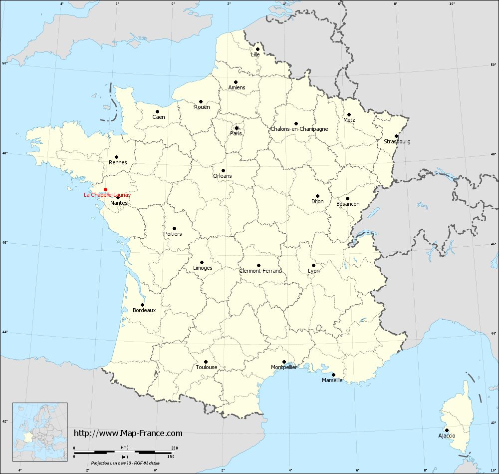
View the map of La Chapelle-Launay in full screen (1000 x 949)
|
You will find the location of La Chapelle-Launay on the map of France of regions in Lambert 93 coordinates. The city of La Chapelle-Launay is located in the department of Loire-Atlantique of the french region Pays de la Loire.
Geographical sexagesimal coordinates / GPS (WGS84):
Latitude: 47° 22' 21'' North
Longitude: 01° 58' 19'' West
Geographical decimal coordinates :
Latitude: 47.371 degrees (47.371° North)
Longitude: -1.971 degrees (1.971° West)
Lambert 93 coordinates :
X: 3 250 hectometers
Y: 67 087 hectometers
Lambert 2 coordinates :
X: 2 748 hectometers
Y: 22 725 hectometers
Below, the geographical coordinates of Nantes, prefecture of the Loire-Atlantique department:
Geographical sexagesimal coordinates / GPS (WGS84):
Latitude: 47° 13' 02'' North
Longitude: 01° 33' 14'' West
Geographical decimal coordinates :
Latitude: 47.219 degrees (47.219° North)
Longitude: -1.554 degrees (1.554° West)
Lambert 93 coordinates :
X: 3 555 hectometers
Y: 66 896 hectometers
Lambert 2 coordinates :
X: 3 055 hectometers
Y: 22 537 hectometers
|
This map of La Chapelle-Launay is reusable and modifiable by making a link to this page of the Map-France.com website or by using the given code :
|
Map of La Chapelle-Launay with departments and prefectures
|
Voir la carte of La Chapelle-Launay en grand format (1000 x 949)
|
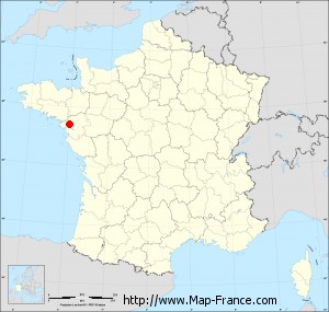
Here is the localization of La Chapelle-Launay on the France map of departments in Lambert 93 coordinates. The city of La Chapelle-Launay is shown on the map by a red point.
The city of La Chapelle-Launay is located in the department of Loire-Atlantique of the french region Pays de la Loire.
The latitude of La Chapelle-Launay is 47.371 degrees North.
The longitude of La Chapelle-Launay is 1.971 degrees West.
Here the distance between La Chapelle-Launay and the biggest cities of France:
Distances are calculated as the crow flies (orthodromic distance)
Distance between La Chapelle-Launay and Paris : 360.39 kilometers
Distance between La Chapelle-Launay and Marseille : 731.79 kilometers
Distance between La Chapelle-Launay and Lyon : 549.66 kilometers
Distance between La Chapelle-Launay and Toulouse : 496.49 kilometers
Distance between La Chapelle-Launay and Nice : 825.17 kilometers
Distance between La Chapelle-Launay and Nantes : 35.71 kilometers
Distance between La Chapelle-Launay and Strasbourg : 735.39 kilometers
Distance between La Chapelle-Launay and Montpellier : 617.79 kilometers
Distance between La Chapelle-Launay and Bordeaux : 300.79 kilometers
Distance between La Chapelle-Launay and Lille : 514.19 kilometers
Distance between La Chapelle-Launay and Rennes : 84.66 kilometers
Distance between La Chapelle-Launay and Reims : 490.4 kilometers
Clic here to see the map of La Chapelle-Launay in full screen:
La Chapelle-Launay on the map of french departments
|
This administrative map of La Chapelle-Launay is reusable and modifiable by making a link to this page of the Map-France.com website or by using the given code :
|
Administrative base maps of La Chapelle-Launay
|

See the administrative base map of La Chapelle-Launay in full screen (1000 x 949)
|
Small administrative base map of La Chapelle-Launay
|
This base map administrative of La Chapelle-Launay is reusable and modifiable by making a link to this page of the Map-France.com website or by using the given code :
|
 French Version : http://www.cartesfrance.fr